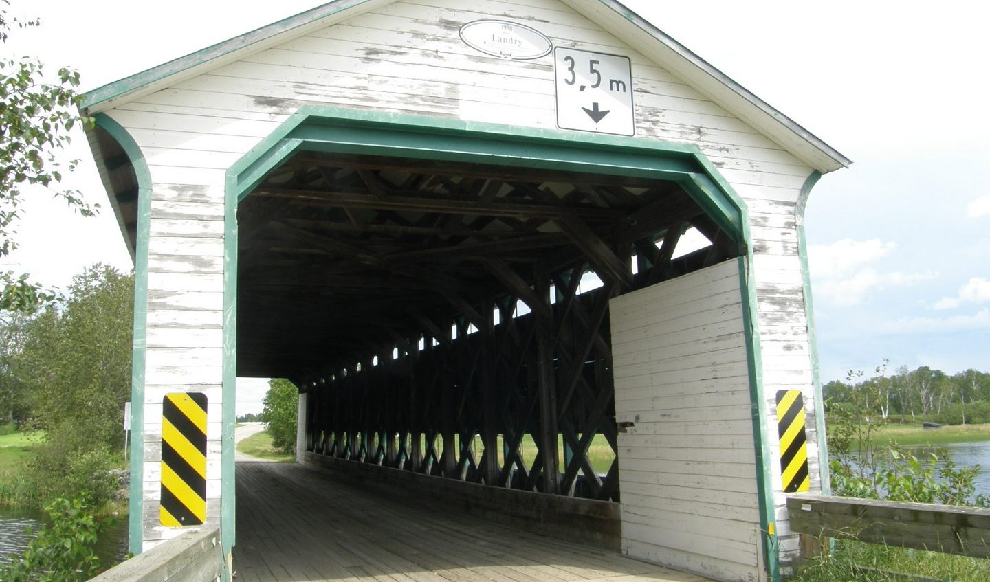
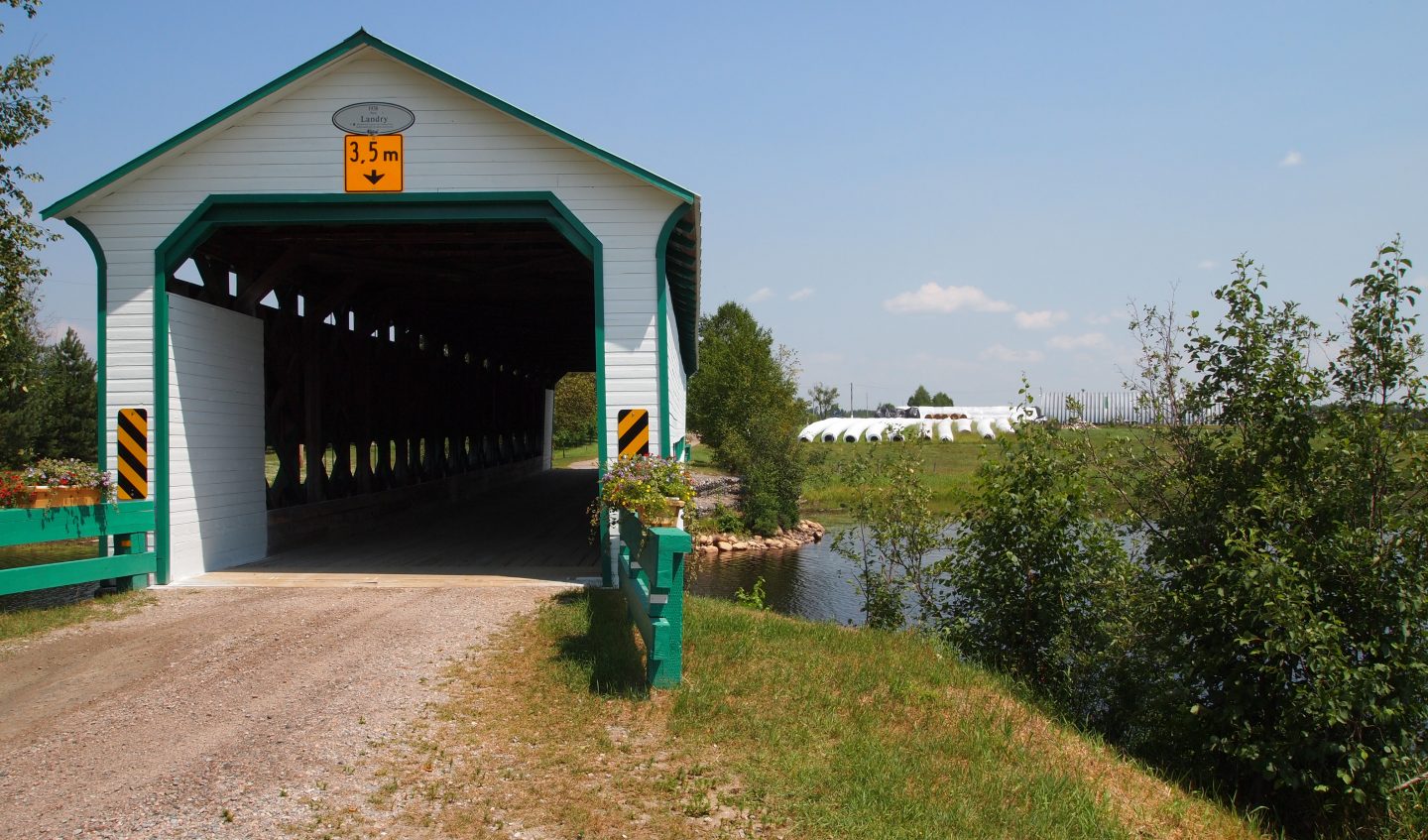
Pont couvert Landry
Photo credit : Jonathan Boulet Groulx - SDT
Landry Covered Bridge
The second wave of colonization in the Témiscamingue region in the 1930s led to the opening of roads and the construction of infrastructures, including that of the Landry bridge in 1938. It was built based on the Town québécois model, also known as Town élaboré. The model is a variant of the Town lattice truss patented by American architect Ithiel Town (1784–1844) in 1820, which was adapted in Quebec at the beginning of the 20th century by engineers of the Ministère de la Colonisation.
This single-span bridge is 32.43 metres long and 5.74 metres wide. Its structure consists of trusses made of diagonally placed planks that form a wide latticework and of vertical posts placed between the lower and upper chords. The structure is covered in planks pinned horizontally and painted in white; it has a straight gable roof. The covered bridge spans the Rivière Fraser, which runs through agricultural territory in the municipality of Latulipe‑et‑Gaboury.
This property has been listed as a heritage building since 2007.
Excerpt taken from the Répertoire du patrimoine culturel du Québec, www.patrimoine-culturel.gouv.qc.ca
New information suggests that the date of construction of the bridge would be 1932, rather than the date of 1938 which has always circulated.
Find out more about this bridge and see photos: www.pontscouverts.com/blogue/pont-landry/
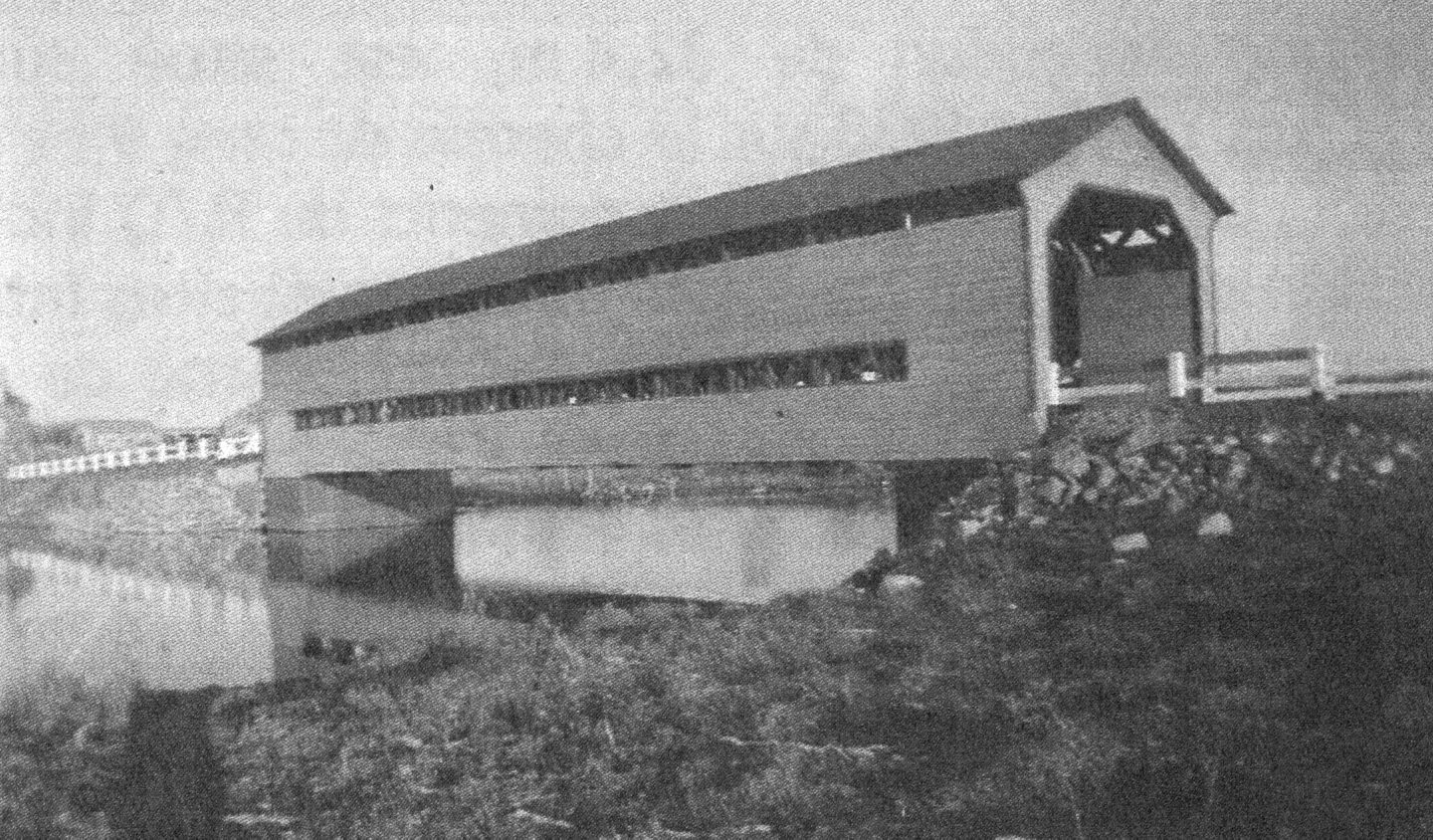
Pont Landry en 1950
Year : 1950
Photo credit : MTQ
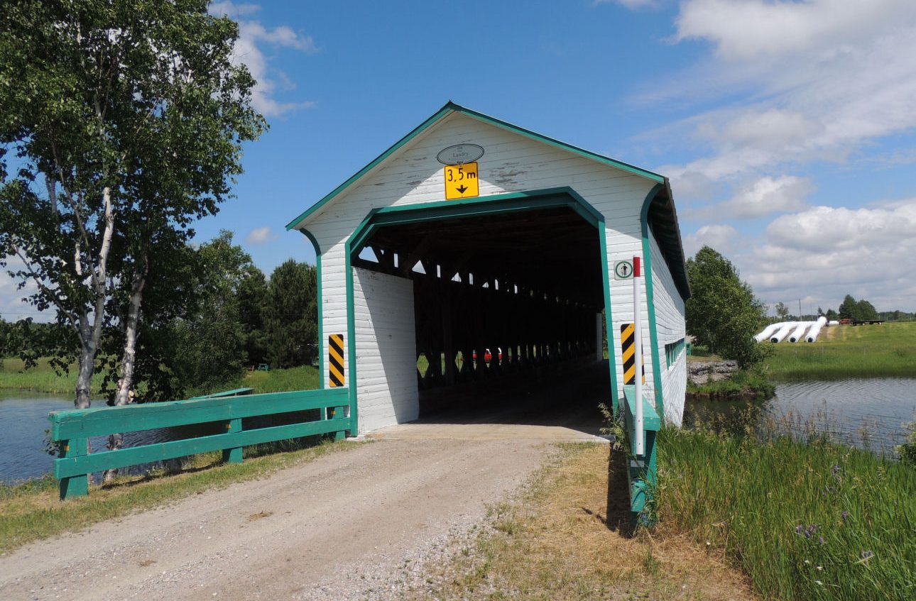
Pont Landry
Year : 2014
Photo credit : Gérald Harbour
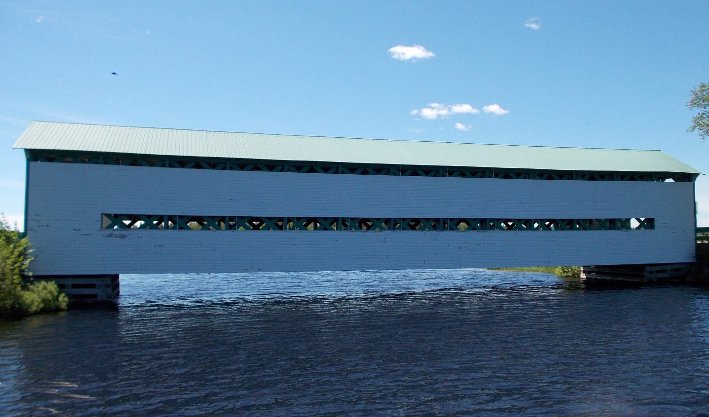
Vue de la rivière - Pont Landry
Year : 2017
Photo credit : Simon Pratte
Pont Landry
Year : 2010
Photo credit : Pascal Conner
Address
498 9e Rang O, Latulipe, QC J0Z 2N0, Canada
Municipality
Latulipe-et-Gaboury
Category
Heritage element
Sector
East
You would like to share a picture of this attraction?
Are you not ready to take the plunge?
Design by : ![]()
Code : ![]()
© Témiscamingue. All rights reserved | Privacy Policy